
GeoSolver
The Story
AI Overview
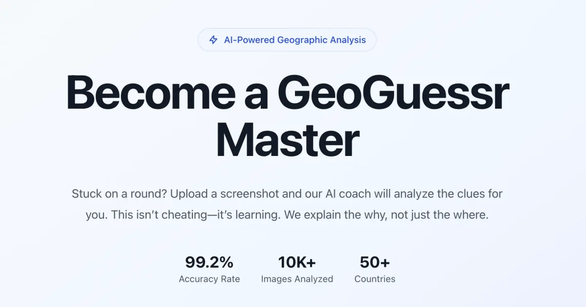
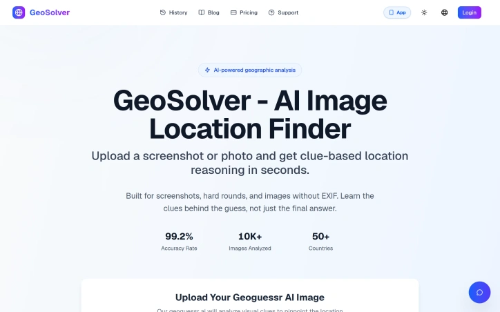
AI-generatedWhat stands out about this solution is its ability to not only provide an answer but to explain the reasoning behind its guess. Powered by the advanced Gemini 3.1 Pro vision model, it analyzes dozens of meta clues within an image to deliver expert-level geographic analysis. With an impressive 99.2% accuracy rate in identifying the correct country, it has already been tested on over 10,000 images across 50+ countries. The level of detail it offers is remarkable, making it an invaluable tool for those looking to improve their geographic analysis skills.
Key features include its capability to work with images lacking EXIF data, its systematic analysis of various geographic indicators such as road infrastructure, signage, and architecture, and its ability to provide detailed regional analysis. Users can even preview key location clues before deciding to upgrade, although full location details and complete reasoning are reserved for premium plan subscribers. By providing a learning experience rather than just a straightforward answer, this product educates users on the patterns and clues that experts rely on, effectively acting as a personal tutor for geographic analysis. The solution's focus on education and skill improvement sets it apart from being merely a 'cheat tool', instead positioning it as a serious learning aid for geo game enthusiasts.
Key Features
Image Analysis
analyzes dozens of meta clues within an image
Regional Analysis
provides detailed regional analysis
Systematic Indicators
systematically analyzes various geographic indicators such as road infrastructure, signage, and architecture
EXIF Data Handling
works with images lacking EXIF data
Clue Preview
allows users to preview key location clues before deciding to upgrade
Use Cases
-
1
Geo Game Enthusiasts
need to rapidly and accurately pinpoint locations in games like Geoguessr
-
2
Geographic Analysis Learners
looking to improve their geographic analysis skills
-
3
Users Needing Accuracy
require a high level of accuracy in identifying locations from images
FAQ
How accurate is GeoSolver? ▾
What kind of images can GeoSolver analyze? ▾
What do I get with the free version of GeoSolver? ▾
Pricing
Full location details and complete reasoning are reserved for premium plan subscribers.
Tech Stack & Tags
Discussion
No comments yet — be the first!
Join the conversation — sign up to comment.
Sign up freeCommunity Support
Boost this project on Sell With boost
