PurityRadar
- No match
Machine translation — the English original is authoritative.
The Story
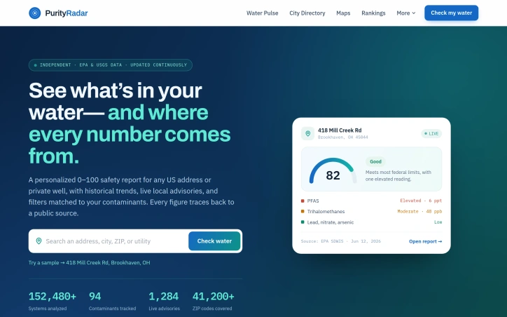
We built PurityRadar because most water quality tools hand you a single score or nothing at all. We wanted to give people real transparency — historical trends, live advisories for your exact area, and a clear path back to the source for every number. Anyone deserves to know what's actually in their water, backed by EPA and USGS data.
AI Overview
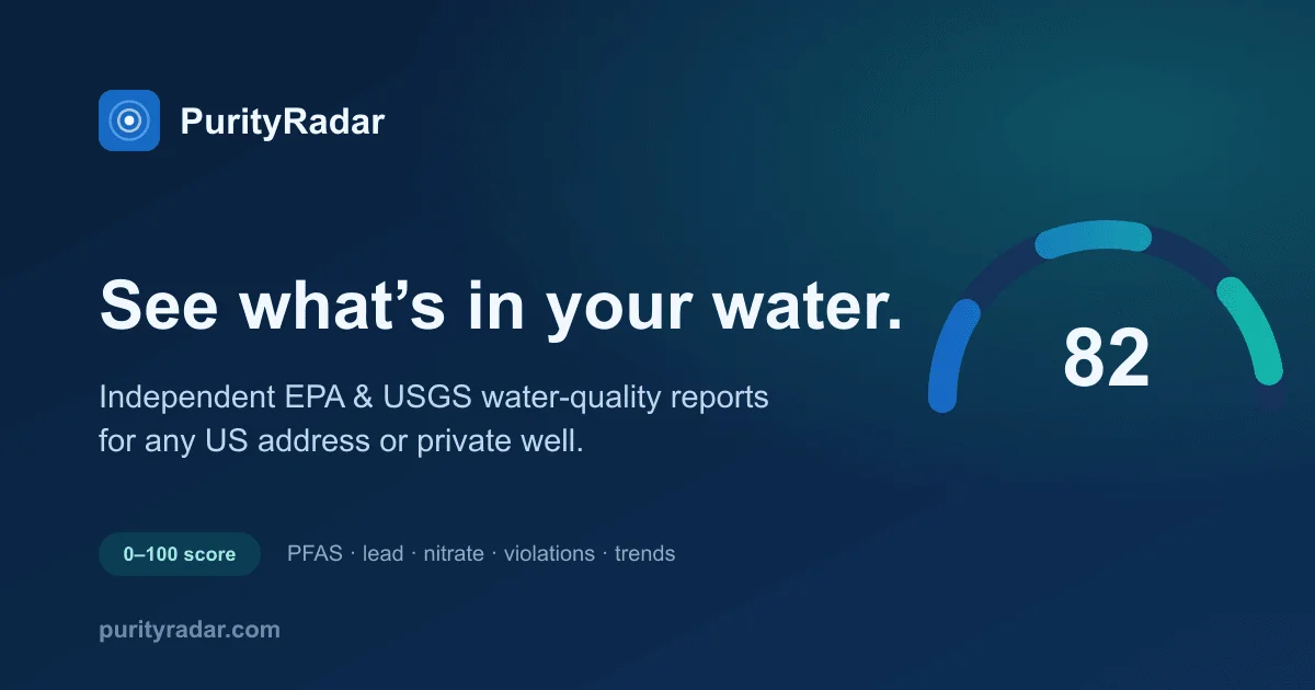
AI-generatedMost water quality checkers reduce the complexity of contamination risk to a single number, leaving residents with incomplete information about what's actually flowing from their taps. PurityRadar addresses this gap by transforming fragmented EPA and USGS data into personalized safety reports that span historical trends, localized advisories, and traceable sourcing.
The platform targets homeowners and renters concerned about water quality—particularly those on private wells, where most existing tools provide no data at all. By modeling contamination risk across geographic areas using USGS datasets, PurityRadar extends beyond municipal systems to serve populations typically excluded from water quality monitoring.
What distinguishes this product is its fundamental commitment to transparency. Rather than presenting opaque scores, each reported figure links directly to its original EPA or USGS source, stamped with publication dates and expert reviewer attribution. This sourcing architecture removes the black box element that undermines trust in competing tools. For users, this means tracing the chain from their address down to the actual data collection point—no anonymous algorithms, no hidden adjustments.
The feature set reflects this philosophy throughout. Historical trend visualization shows how water quality has shifted over years rather than capturing a static snapshot. Live local advisories for boil-water orders and main breaks arrive geographically targeted, avoiding the false certainty of stale information. The 0-100 safety scoring framework remains accessible for quick assessment, but it functions as an entry point rather than the entire answer. Contaminant-specific filters let users focus on substances relevant to their location and risk profile.
Coverage spans major US cities—the site samples New York, Los Angeles, Chicago, Houston, and others, breaking down contamination profiles by specific systems and flagged facilities within each region. Private well modeling represents a competitive advantage, as most water quality tools omit this segment entirely. The platform builds on public data sources—EPA Safe Drinking Water Information System records and USGS databases—creating a sustainable foundation that sidesteps the common bottleneck of proprietary testing requirements. Users cannot debate the underlying facts, only their interpretation, which refocuses the conversation toward actionable decision-making rather than score-chasing and brand loyalty.
Founder Diary
DevlogThe maker hasn't posted a diary entry yet.
Key Features
Transparent Source Tracing
Each reported figure links directly to its original EPA or USGS source with publication dates and expert attribution.
Historical Trend Visualization
Shows how water quality has shifted over years rather than capturing a static snapshot.
Live Local Advisories
Geographically targeted boil-water orders and main break alerts arrive in real-time.
Contaminant-Specific Filters
Users can focus on substances relevant to their location and risk profile.
Private Well Modeling
Extends coverage to private wells where most existing tools provide no data.
Use Cases
-
1
Homeowners on Private Wells
Provides data coverage for private wells where most existing tools offer no information.
-
2
Renters Concerned About Quality
Delivers personalized safety reports covering historical trends and localized advisories.
-
3
Urban Residents Seeking Transparency
Offers traceable sourcing and links to original data sources for informed decision-making.
-
4
Populations Excluded from Monitoring
Extends coverage beyond municipal systems using USGS datasets for rural and private well areas.
FAQ
Does PurityRadar cover private wells? ▾
What cities does PurityRadar cover? ▾
How transparent is PurityRadar's water quality data? ▾
What does the water safety score mean? ▾
Tech Stack & Tags
Discussion
No comments yet — be the first!
Join the conversation — sign up to comment.
Sign up freeCommunity Support
Boost this project on Sell With boost